Capture your Cruise with Perfect Precision
Transform your memories into treasured keepsakes with a GPS-crafted map that tells your story exactly as it happened.
Transform your memories into treasured keepsakes with a GPS-crafted map that tells your story exactly as it happened.


Tracks your cruise with the highest quality AIS data for perfect mapping

Captures every port, detour, and stop you make to document your unique journey

Uses Giclee fine art techniques on FSC-certified paper for premium quality prints

Comes with the option of a handcrafted, professionally taped frame for a quality finish and immediate display

Our cruise maps make the ideal personalised keepsakes for the cruise lover in your life

Fantastic Experience
Amazing idea ! This was my first cruise map after spotting these on an Emma Cruises blog. I really love the idea. I choose an older cruise from 2017 as it's the furthest one I had done. I love the fact that New Zealand is to the left of the map with the whole of the Pacific ocean showing.....NZ is usually to the right on world maps. This would be a great gift idea for people with memory issues to look at and enjoy. Imagine selling these on Cruise ships...the potential is endless !

Memory Captured!
Memory Captured. Mentioned in and because of an Emma Cruise vlog, we ordered a map of a Transatlantic cruise that we took in the fall of 2023. Although somewhat pricey, we are pleased with the finished product and have it hanging in our home with other travel photos. It's a nice memory of a once in a lifetime trip; and we would certainly recommend this to others as a nice gift or travel memento.

Amazing Memento
Thank you for an amazing memento from our unique cruise which was full of adventure. The map perfectly tracked our actual journey versus the original itinerary. The paper it was on is high end and it was packaged perfectly in a tube. From order to shipment to receipt, the process took less than 10 days. We love it and framed it immediately!!!


Add a precise special location, name, quote or message from your voyage for no additional cost!

Get the perfect personalised keepsake for the cruise lover in your life.

We use precise AIS satellite tracking data that goes back as far as January 2015. We just need your ship name and start/end port and then we do the rest!

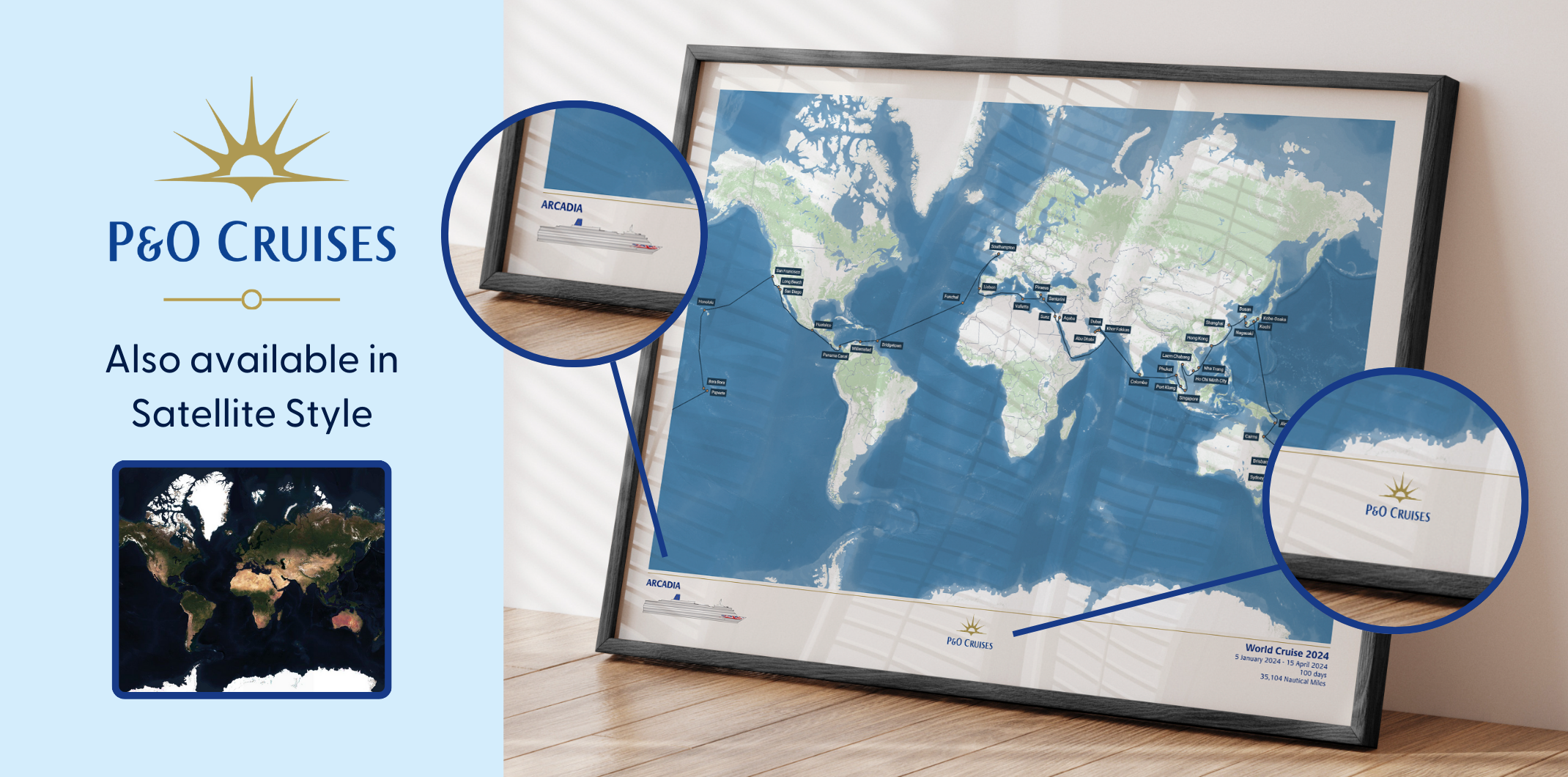
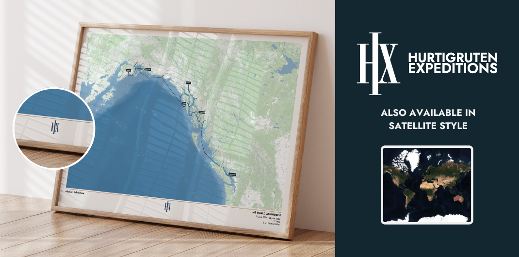
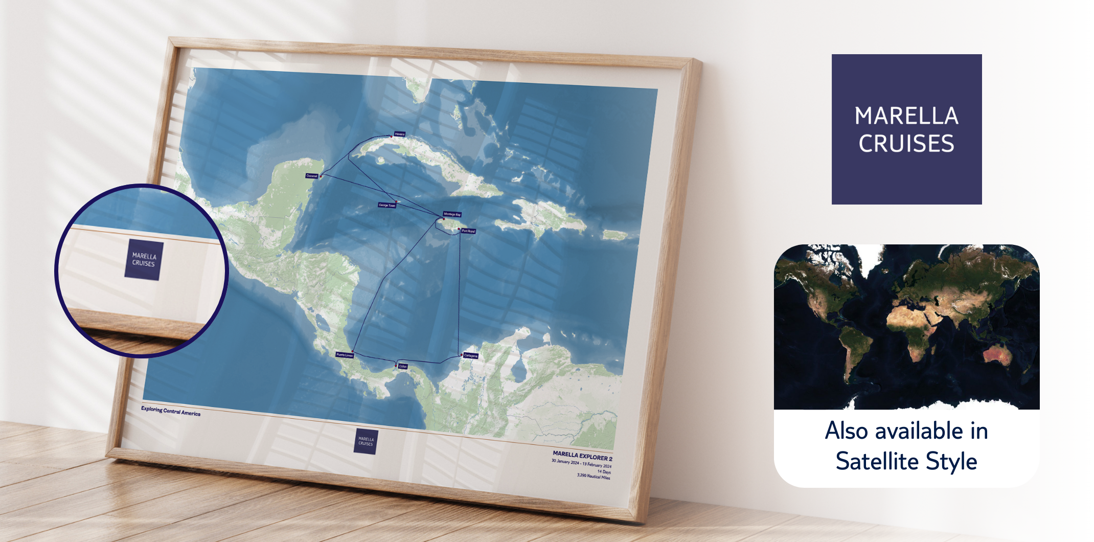
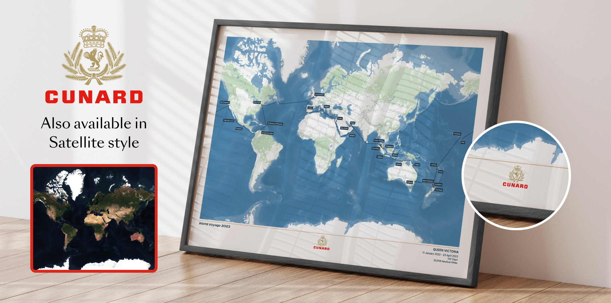
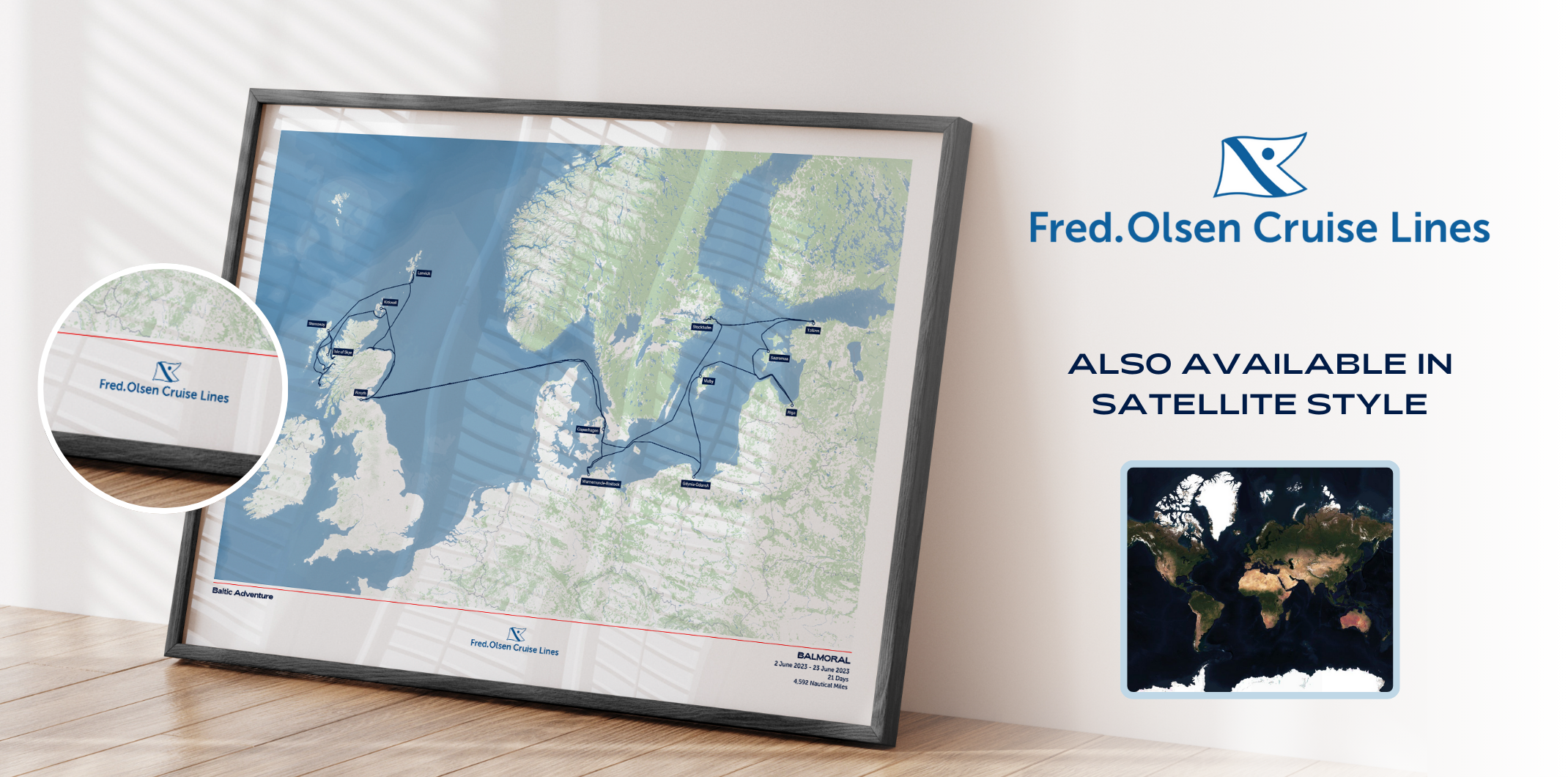
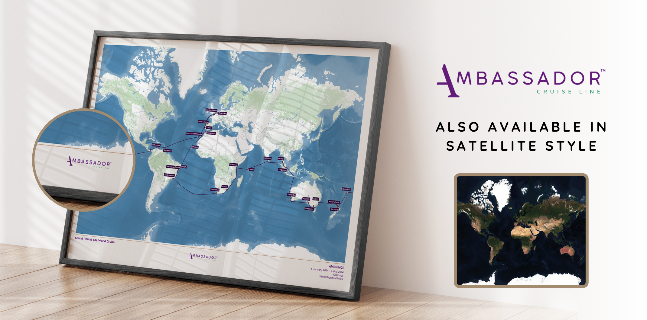
Designed in partnership with the P&O Cruises team, this special edition includes the official ship profiles, as well as the P&O Cruises logo, colours and fonts.
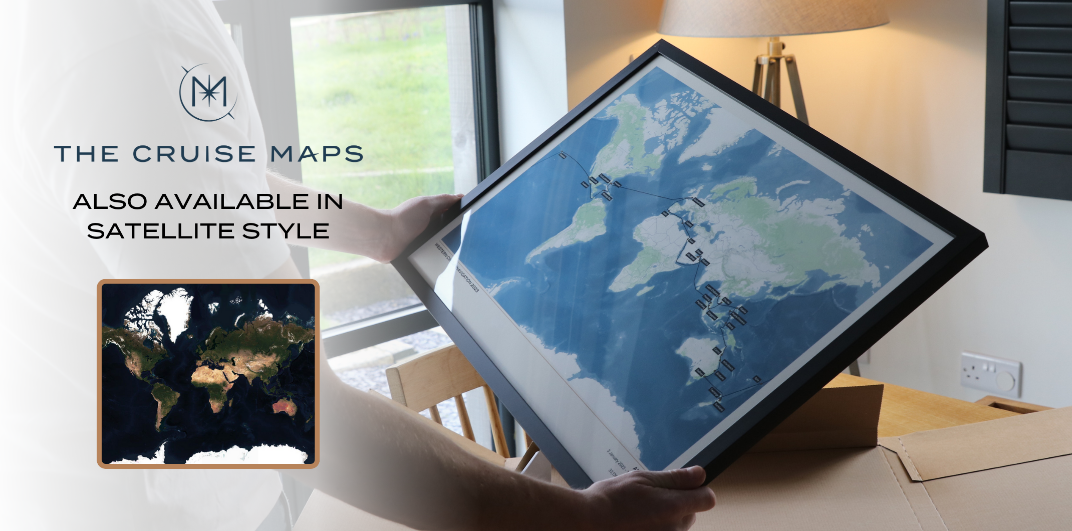
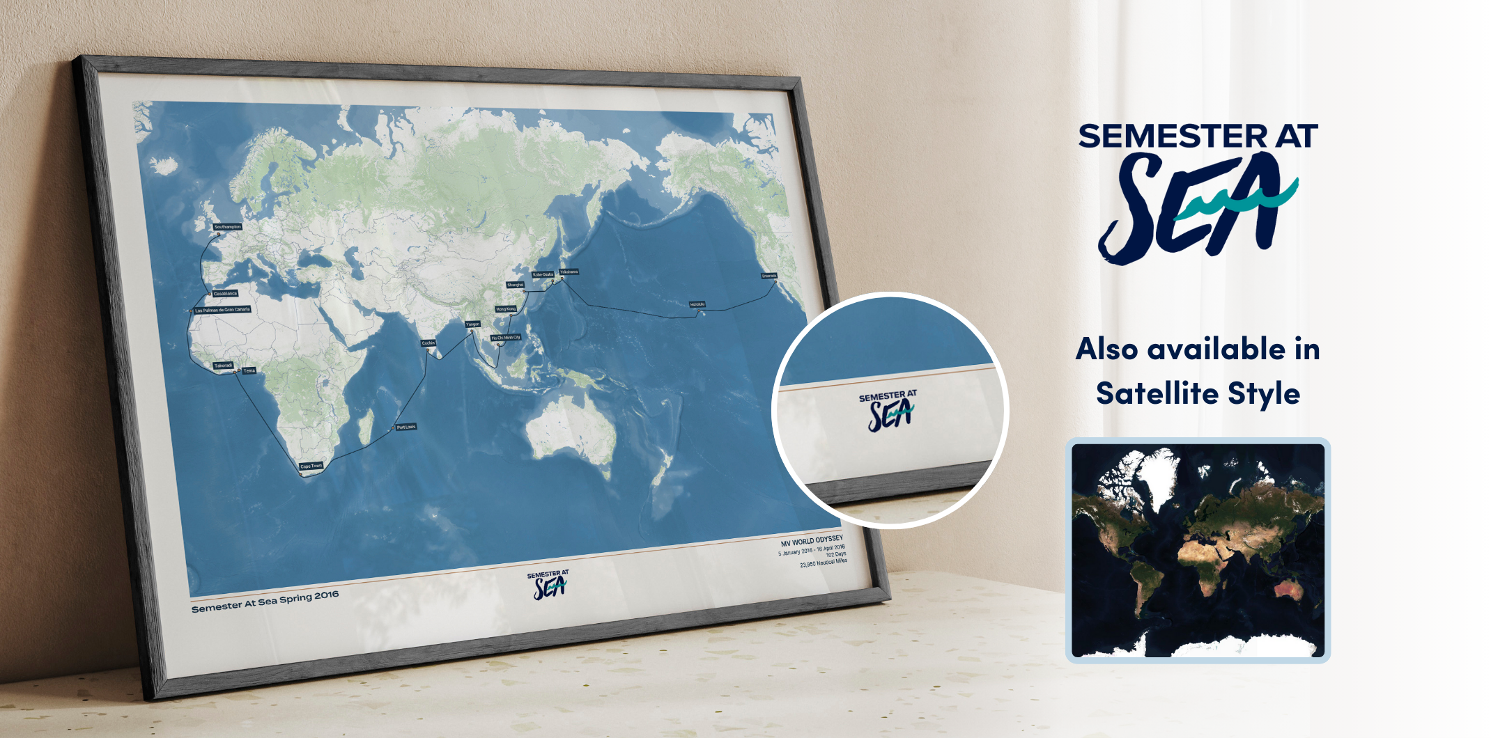
This is our standard, unbranded map design: consistent and available across all cruise lines.